See What
Others Can't
Reach
InnovateARM Drone Services delivers aerial inspection, LiDAR mapping, thermal surveys, and drone-enabled emergency response training to municipal, commercial, industrial, and public-safety clients.
Seven Mission-Critical Service Lines
From building thermal scans to drone-enabled emergency training, every InnovateARM service is designed around a real operational need — with FAA Part 107 compliance built in.
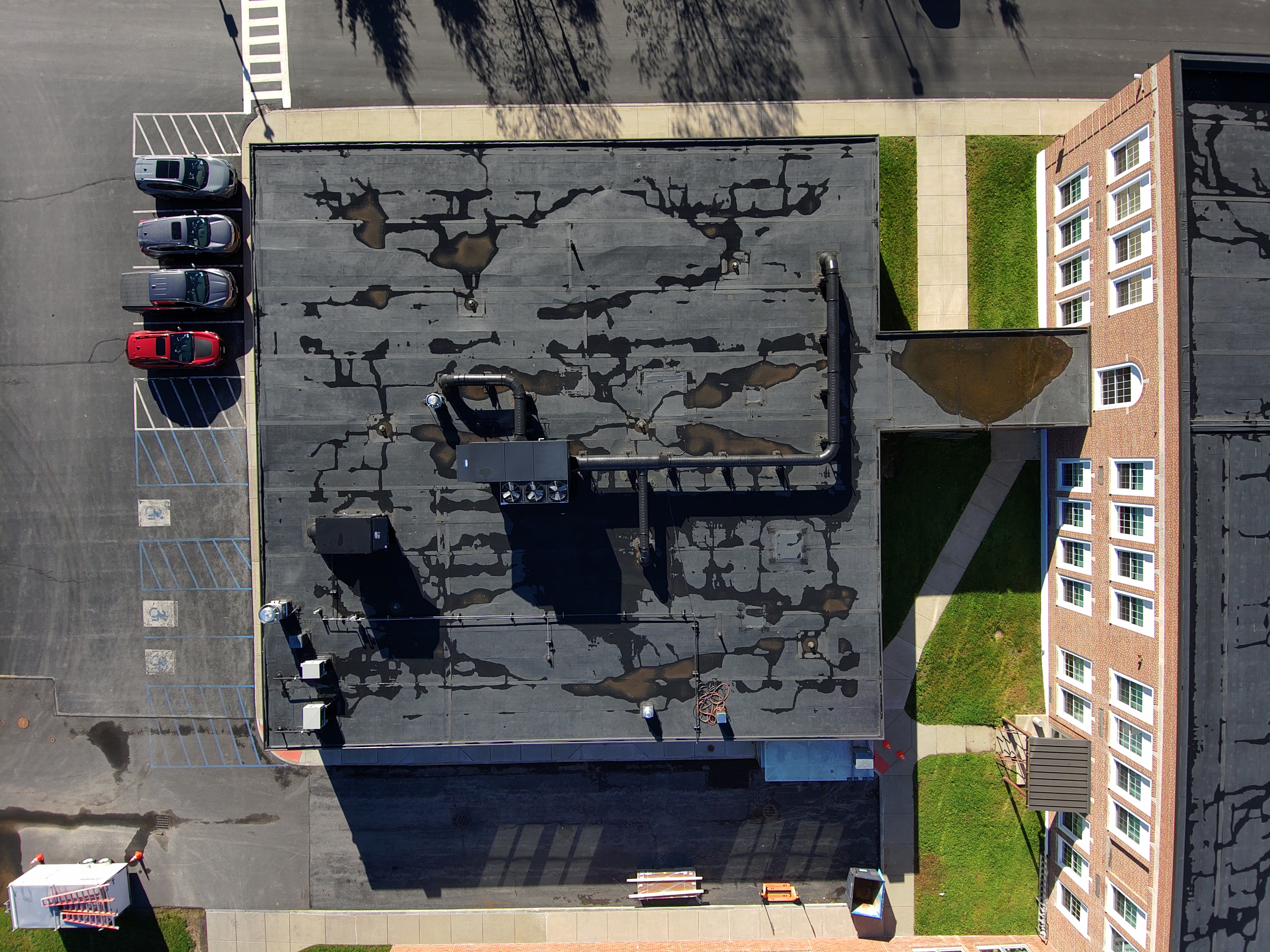
Identify moisture intrusion, insulation failures, and HVAC defects across roofs and façades — no scaffolding required.
Learn morePre-construction photogrammetry and LiDAR surveys delivering topo data, earthwork volumes, and site basemaps for AEC teams.
Learn moreMap and document utilities, transmission lines, solar farms, campuses, and transportation corridors with RGB + LiDAR.
Learn moreCombine aerial capture, thermal imaging, and customer GIS data to visualize pipelines, sewers, and buried utilities.
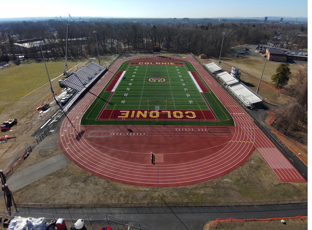
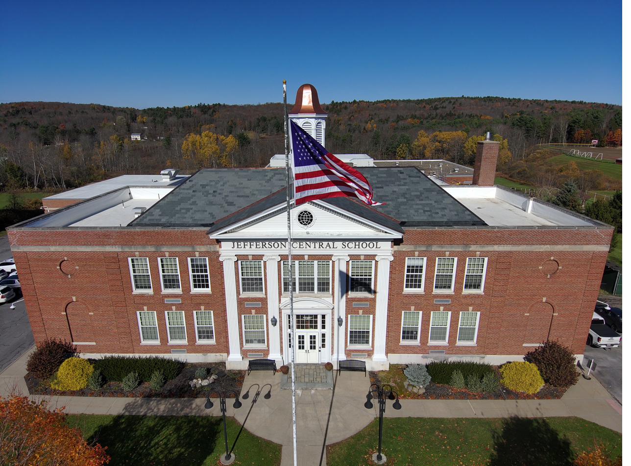
Learn moreHigh-resolution aerial imagery and stabilized video for inspections, construction progress, corporate events, and marketing.
Learn morePhotogrammetric 3D models and LiDAR point clouds of terrain, buildings, campuses, ships, and aircraft for engineering and media.
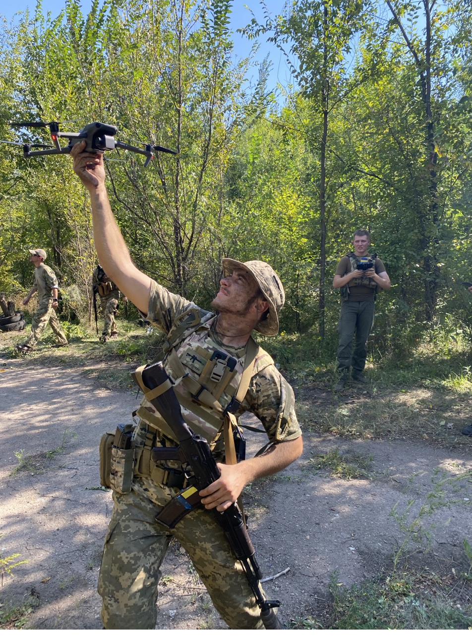
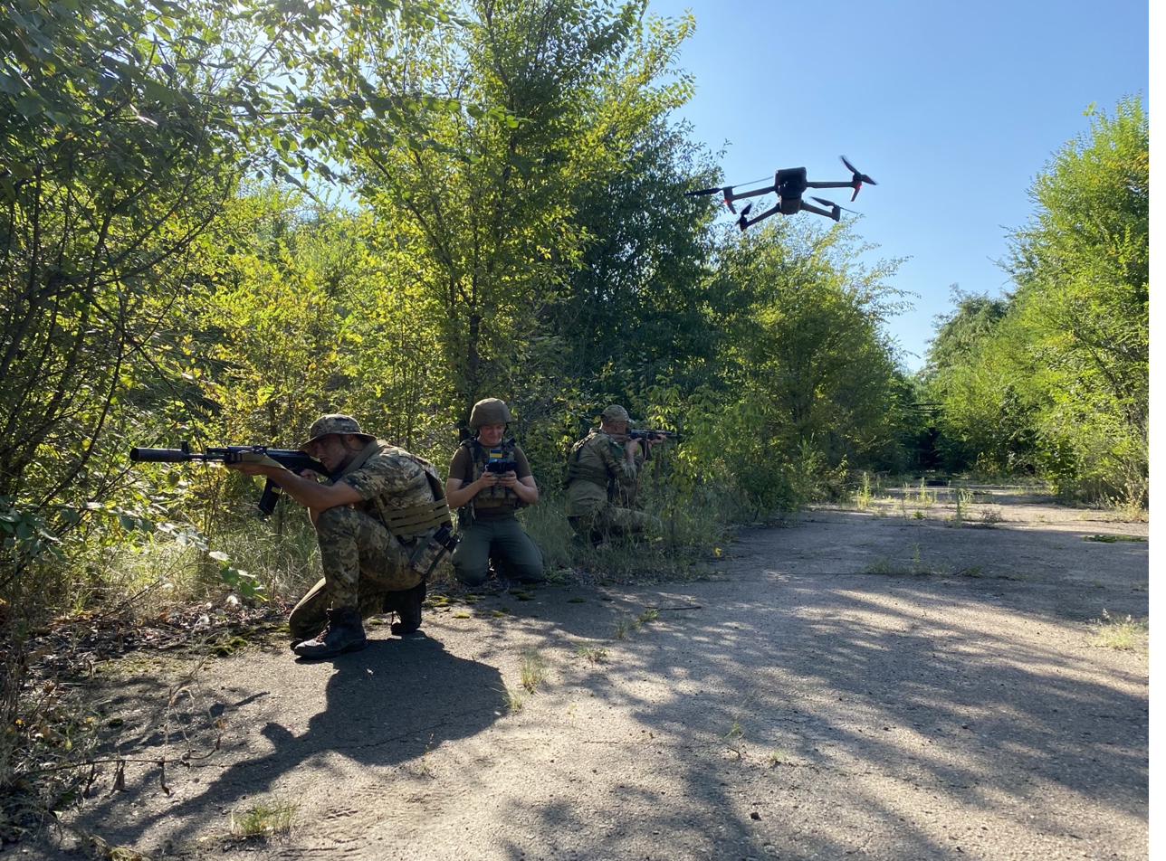
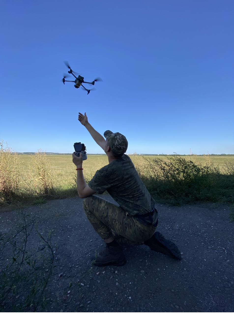
Learn moreScenario-based drone training for law enforcement, EMS, search & rescue, government, and military. Three dedicated programs: Natural Disasters, Technological Disasters, and Mass Casualty Situations.
Challenges We Solve
Every industry faces a different set of inspection, mapping, and response challenges. InnovateARM Drone Services addresses them with purpose-built aerial data solutions.
Aging Infrastructure, Limited Budgets
- Deteriorating school and facility roofs difficult to assess safely
- Parks, waterways, and campuses lack accurate GIS basemaps
- Emergency agencies need drone-enabled preparedness training
Portfolio-Scale Condition Assessment
- Roof and façade inspections across dozens of properties are cost-prohibitive
- Moisture damage and insulation failures go undetected until costly repairs
- Scaffolding and cranes add weeks and liability to every inspection cycle
Survey Data That Slows Projects Down
- Traditional surveys take days; drone LiDAR covers the same area in hours
- Earthwork volumes and cut-fill calculations need high-accuracy topo data
- Design teams need BIM-ready point clouds, not just paper drawings
Assets Spread Across Miles of Corridor
- Transmission line inspections require helicopter-level cost and risk
- Solar and wind farms need recurring inspection and layout verification
- Pipeline corridors require high-resolution imagery with precise geolocation
High-Stakes Incidents Demand Better Awareness
- Disaster scenes are too dangerous for first responders without aerial intelligence
- Agencies lack training in UAS-integrated incident command
- Mass-casualty situations require rapid scene mapping and triage support
Critical Assets Without Continuous Monitoring
- Bridges, culverts, and road assets need condition data without lane closures
- Port and airport facilities require precise as-built documentation
- Construction progress tracking across large infrastructure projects
Built Different.
By Design.
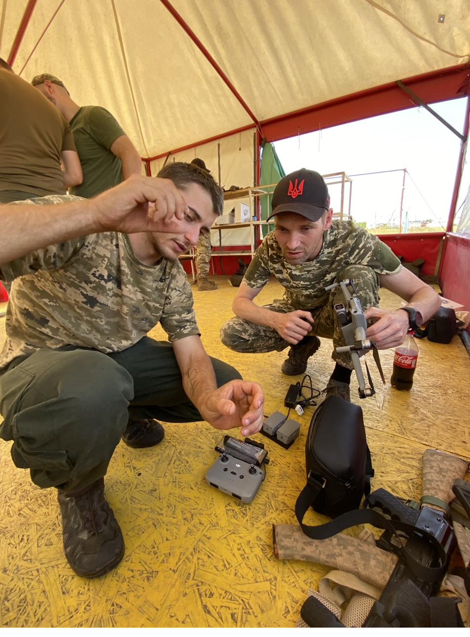
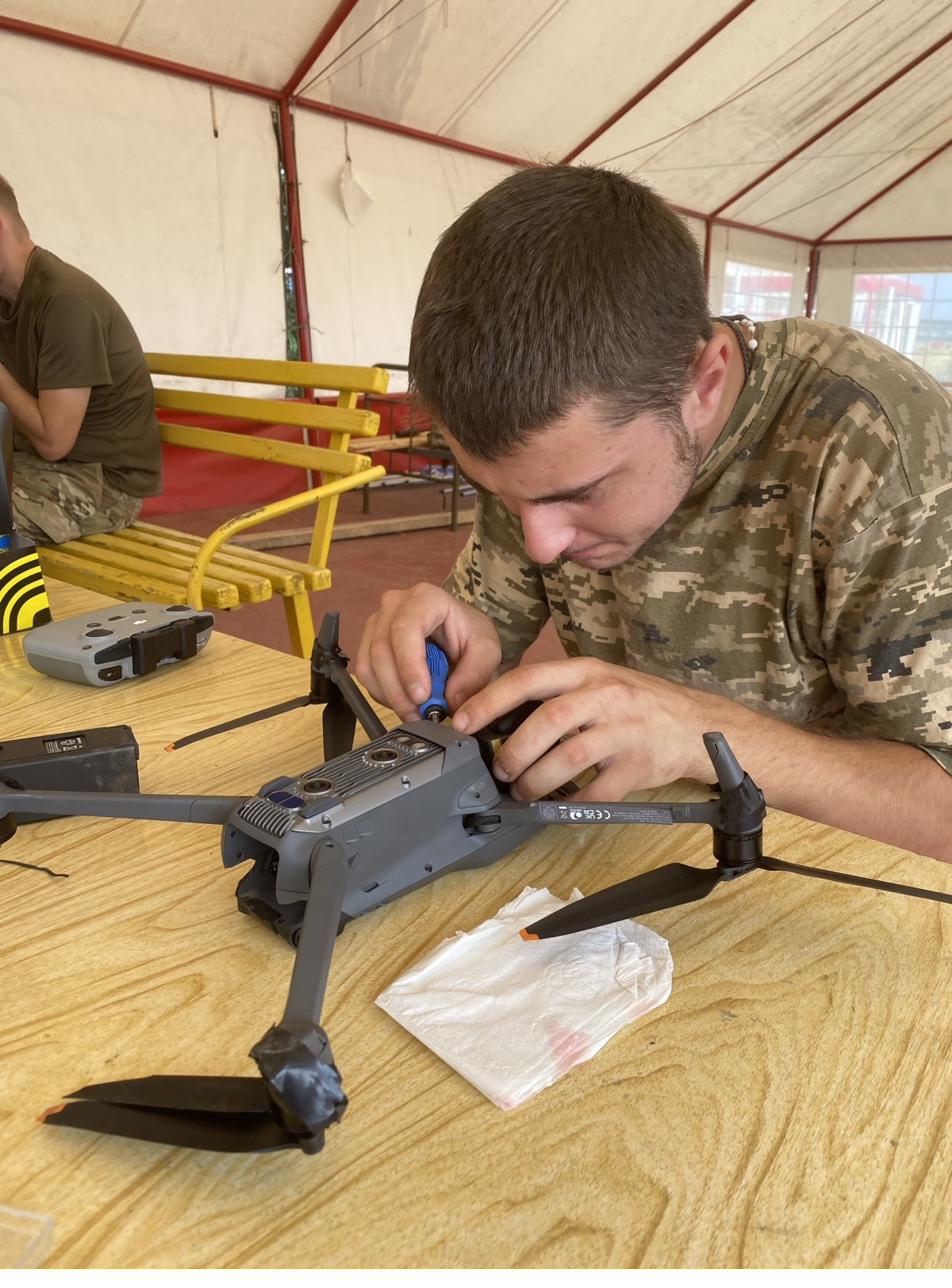
Most drone service providers focus on a single sensor type or application. InnovateARM Drone Services was built from day one to offer integrated multi-sensor capability — with the operational discipline and domain expertise that risk-sensitive clients require.
Meet the TeamSensor-Fusion Technology
Enterprise-grade drones paired with the best thermal, LiDAR, and RGB payloads on the market — processed with industry-standard software to produce actionable deliverables.
Enterprise-grade multi-payload drone platform
- Max flight time: 55 min
- Max payload: 2.7 kg
- IP55 weather resistance
Compact, agile survey drone with integrated 4/3 CMOS
- Max flight time: 45 min
- 4/3 CMOS, 20 MP
- Optional RTK module
45 MP full-frame photogrammetry payload
- Sensor: 45 MP full-frame
- Coverage: 3+ km² per flight
- Focal lengths: 24mm / 35mm / 50mm
Multi-sensor thermal + visual payload for inspections
- Thermal resolution: 640×512
- Temperature accuracy: ±2°C or ±2%
- Zoom camera: 48 MP, 35× hybrid zoom
Survey-grade LiDAR with integrated RGB for dense point clouds
- Max detection range: 250 m
- Point rate: up to 240,000 pts/m²
- Vertical accuracy: 4 cm (1σ)
End-to-end flight planning, 3D reconstruction, and point cloud processing
- Orthomosaic & DSM generation
- LiDAR point cloud processing
- Annotation & measurement tools
Ready Your Agency
Before the Next Event
InnovateARM's scenario-based training programs give law enforcement, EMS, search & rescue, and military units the practical skills to integrate drones into emergency operations — from first notice to after-action review.
Webinars & Events
Join our upcoming webinars and see us at industry conferences. Register online and receive joining instructions by email.
Get Updates from IADS
Subscribe to receive news, event announcements, webinar invitations, and industry insights from InnovateARM Drone Services.
Let's Talk About Your Project
Whether you need a roof inspection, a construction site survey, or emergency response training for your agency — we'd like to hear from you.