
FAA Part 107 Certified
Professional Drone Surveying Services
Faster field capture, dependable deliverables, and project-ready data for construction and land development.
The Problem
Traditional Surveying Slows You Down
Traditional ground-based surveying methods can take days to complete a single site, requiring multiple crew visits, lane closures, or restricted site access. Every day spent surveying is a day construction schedules slip and budgets tighten. On active job sites, traditional survey crews also face real safety exposure — working near heavy equipment, at height, or in hazardous terrain.
The Solution
Drone Surveying Delivers Speed, Safety, and Data Density
InnovateARM Drone Services captures full-site aerial data in hours, not days — without putting crews in harm's way. Using RTK and PPK-equipped platforms, we deliver survey-grade accuracy (1–3cm) for topographic mapping, volumetrics, and progress tracking, processed into the formats your engineering and project teams already use.
Speed
Full-site capture in hours; rapid turnaround on deliverables
Accuracy
RTK/PPK survey-grade positioning (1–3cm), validated against checkpoints
Safety
No crews on active sites, near equipment, or at height
What We Deliver
Drone Surveying Services for Your Project
Construction Site Mapping
Pre-construction topographic surveys, site planning, and progress documentation throughout the build.
Earthwork Volumetrics
Accurate cut/fill calculations for grading, excavation, and material tracking.
Land Development Surveys
Site planning data for municipal, commercial, and residential development projects.
Agricultural Mapping
Field boundary mapping, drainage analysis, and crop monitoring for farm operations.
Infrastructure & Utility Mapping
Documentation of existing infrastructure corridors — roads, pipelines, transmission lines.
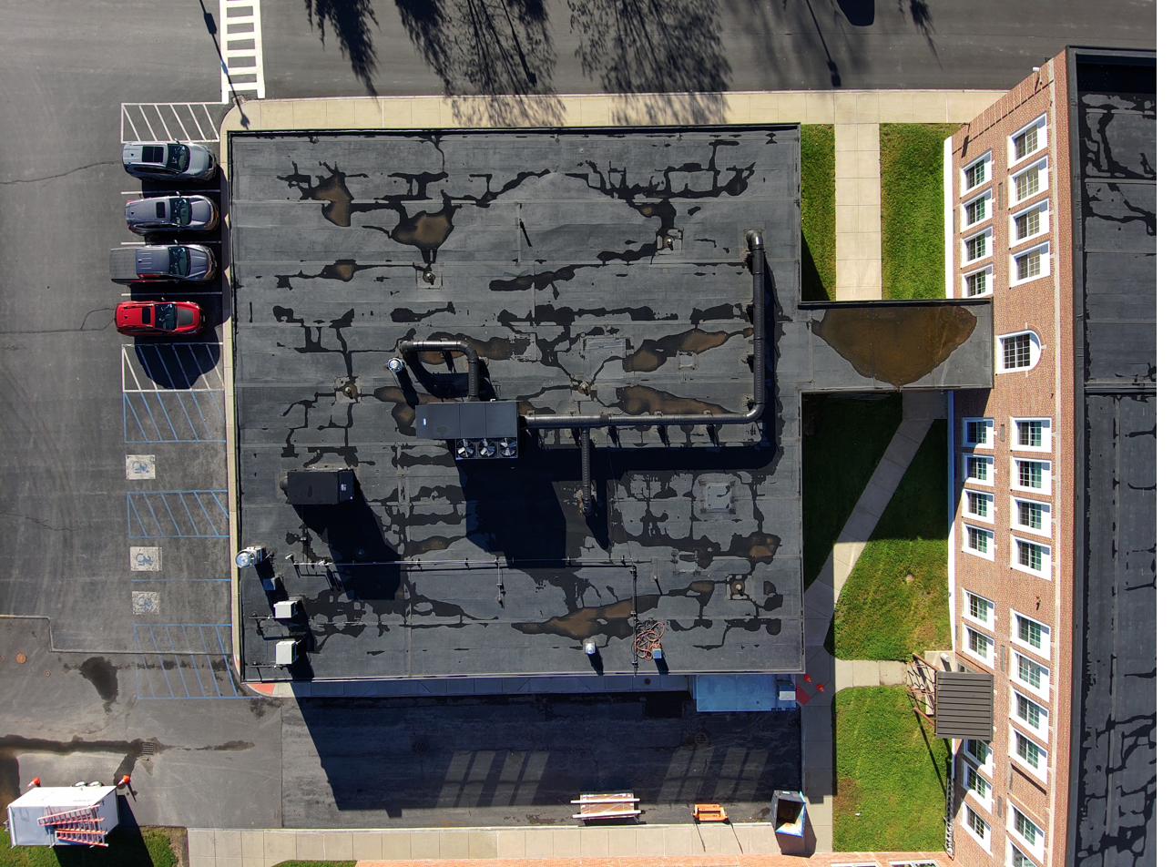
Why Choose Us
Built for the Northeast's AEC and Construction Industry
FAA Part 107-certified pilots and registered aircraft
RTK and PPK capability — matched to your site, not a one-size default
Deliverables that integrate with your existing engineering and GIS workflows
Northeast-based, serving CT, NY, NJ, MA and surrounding states
Get Started
Request a Free Consultation or Quote
Tell us about your project and we'll respond within one business day.